Maps
Day 1 - Swindale North |
||
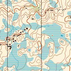 |
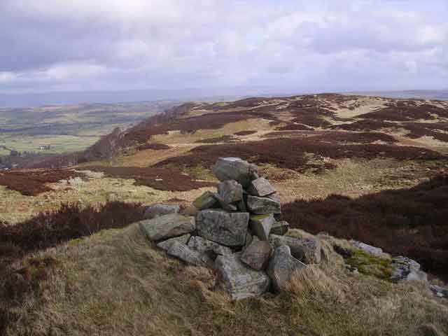
Swindale North is a fast and intricate open fell requiring accurate navigation at all times.
|
|
 |
||
Day 2 - Tarn Hows South & Guards Wood |
||
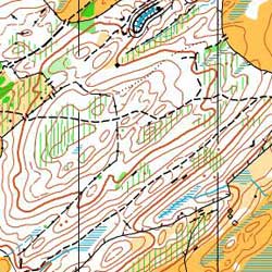 |
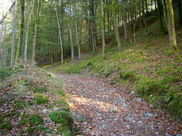
Tarn Hows South and Guards Wood consists of two areas of mixed complex woodland within a short walking distance of Coniston centre. | |
 |
||
Day 3 - Harrop Tarn |
||
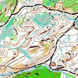 |
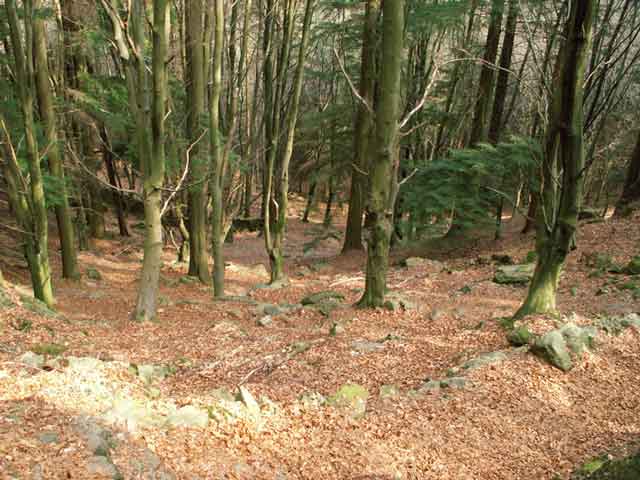
Harrop Tarn is an intricate forest with an adjacent complex open fell. The area of fell includes a new extension which has not previously been used for orienteering. This area is generally highly detailed, with some wetter areas and expanses of mostly runnable heather. | |
 |
||
Day 4 - Caw |
||
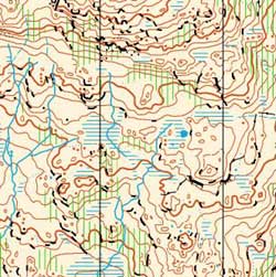 |
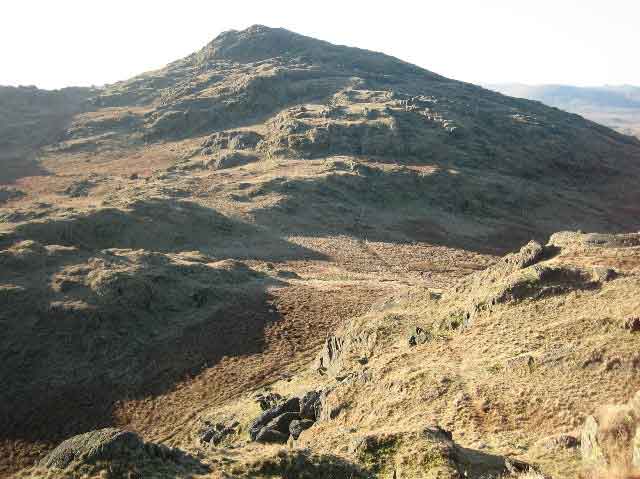
Caw is an area of very complex open fell, requiring careful navigation at all times | |
 |
||
Day 5 - Helsington Barrows |
||
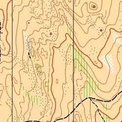 |
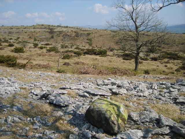
Helsington Barrows is a fast open limestone area with many rock features. | |
 |
||
 22 - 27 August
2010